X Marks the Feeling: The Hand-Drawn Cartographers Mapping What Google Will Never Find
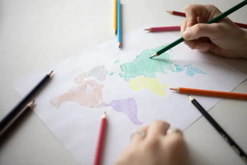
There's a map of Detroit's East Side that lives rolled up inside a cardboard tube in Denise Okafor's living room. She pulls it out maybe once a week — sometimes to show a neighbor, sometimes just for herself. It's drawn in ballpoint pen and colored pencil on a large sheet of drafting paper, and it covers roughly twelve city blocks. There are streets on it, sure. But there's also a small star marking the corner where her father proposed to her mother under a broken streetlight in 1971. There's a dotted line tracing the route kids used to take through a vacant lot to avoid a particular dog. There's a hand-lettered label over an empty parking lot that reads: Ruthie's. Best fried whiting in the city. Gone 2009.
No satellite image will ever show you any of that.
"Official maps tell you where things are," Denise says, smoothing the paper's curled edges. "Mine tells you what things meant."
Denise is part of a loose, largely unorganized movement that's been quietly gaining momentum in neighborhoods across the United States. Call them emotional cartographers, community memory-mappers, or just people who got tired of their block being reduced to a blue dot. Whatever the label, they're doing something genuinely radical: using hand-drawn maps to document the invisible architecture of lived experience — the stories, the grief, the joy, and the stubborn persistence of community that official records almost never capture.
Why Now, Why Handmade
It might seem counterintuitive. We live in an era of hyper-precise digital mapping. You can pull up a satellite view of your childhood home, zoom in on the crack in the driveway, and drag a little orange figure down your old street in Street View. So why are people reaching for pencils?
There's something deliberate about that choice. "When you draw something by hand, you have to decide what matters," says Marcus Treviño, a high school art teacher in San Antonio who started facilitating community mapping workshops two years ago through a local cultural nonprofit. "A GPS just captures everything. Drawing forces you to curate. And curation is memory."
Marcus's workshops bring together residents — sometimes multigenerational families, sometimes just neighbors who barely know each other — and ask them to map a shared space from memory, without looking at any reference materials. What comes out of those sessions, he says, is consistently surprising. "People mark things that have been gone for thirty years like they're still standing. They argue about where the old pharmacy was. They laugh about the alley everyone cut through. You'd think disagreements over a map would be divisive, but it's actually the opposite. The arguing itself is the bonding."
That's not an accident. It's community infrastructure, just built with paper instead of concrete.
The Stories That Don't Make the Record
Official historical records — city archives, property registries, even local newspaper archives — tend to document the formal and the institutional. They track who owned what, what got built and demolished, what events were deemed significant enough to cover. What they almost never capture is the texture of daily life: the informal economies, the gathering rituals, the landscape of feeling that residents actually navigate.
In immigrant communities especially, that gap can be enormous. Rosa Vega, who immigrated from Oaxaca to Los Angeles in the early 1990s, has spent the last three years creating what she calls a "memory atlas" of her neighborhood in Boyle Heights. It started as a personal project — a way of honoring the small businesses and cultural touchstones she watched disappear as the neighborhood changed — but it grew into something larger when she started sharing pages at community meetings.
"People would see a label I'd written — a bakery, a healer's house, a place where people used to gather for quinceañeras — and they'd say, 'You remembered that? I thought I was the only one,'" Rosa recalls. "That's when I understood what I was really doing. I wasn't just making a map. I was making a mirror."
She's now working with a local community organization to digitize portions of the atlas while preserving the original hand-drawn pages, which she insists carry something that a digital scan simply cannot replicate. "The mistakes, the smudges, the way I wrote a name in bigger letters because it mattered more to me — that's part of the information," she says.
Mapping as Resistance
There's also an explicitly political dimension to what some of these cartographers are doing. In cities where rapid gentrification has displaced longtime residents, hand-drawn maps have become a form of counter-documentation — a way of asserting that a community existed, thrived, and had meaning, regardless of what the current property values suggest.
In Portland, Oregon, a collective of Black residents whose families were displaced from the historically Black Albina neighborhood has been creating what they call "presence maps" — hand-drawn documents that mark not just where Black-owned businesses and cultural institutions once stood, but where people stood, gathered, celebrated, and mourned. The maps are intentionally imprecise in certain ways, rejecting the authoritative visual language of official cartography in favor of something more personal and more honest.
"We're not trying to look like a city planning document," says one collective member who asked to be identified only as Jerome. "We're trying to look like what we actually are: people who remember, and who refuse to let that memory get paved over."
The maps have been exhibited in community spaces, used in oral history projects, and shared with local schools. For Jerome, the act of drawing itself matters as much as the finished product. "Every line you put down is an act of saying: this happened. We were here. That matters."
What Gets Left on the Map
Not everything these cartographers preserve is heavy or political. Some of the most powerful entries in these community maps are quietly joyful — the corner where the ice cream truck always parked, the yard with the dog that everyone pretended to be scared of, the stretch of sidewalk where teenagers held an impromptu dance battle every Friday in the summer of 2003.
Denise Okafor, back in Detroit, laughs when she talks about some of the entries on her map that neighbors have contributed over the years. "Someone added a little note that just says 'haunted' next to one of the houses. Nobody will explain why. But it's been on the map for four years now, and honestly, at this point it stays."
That's the thing about these maps. They're living documents. They get added to, argued over, revised, and passed around. They accumulate layers the way neighborhoods do — through time, through change, through the insistence of people who love a place enough to write it down.
Google Maps will tell you the fastest route. These maps will tell you why the route matters.
And honestly? That's the one we actually need.